What We Do
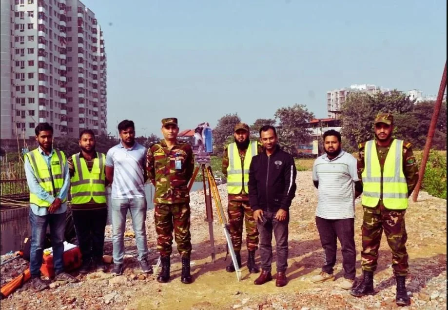
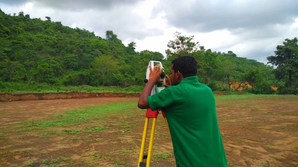
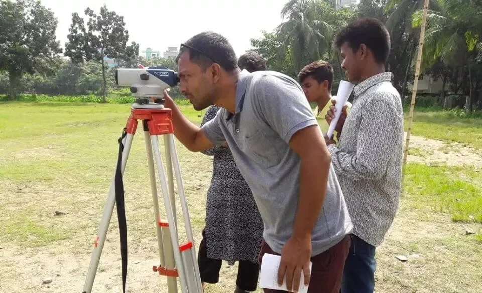
LAND SURVEY
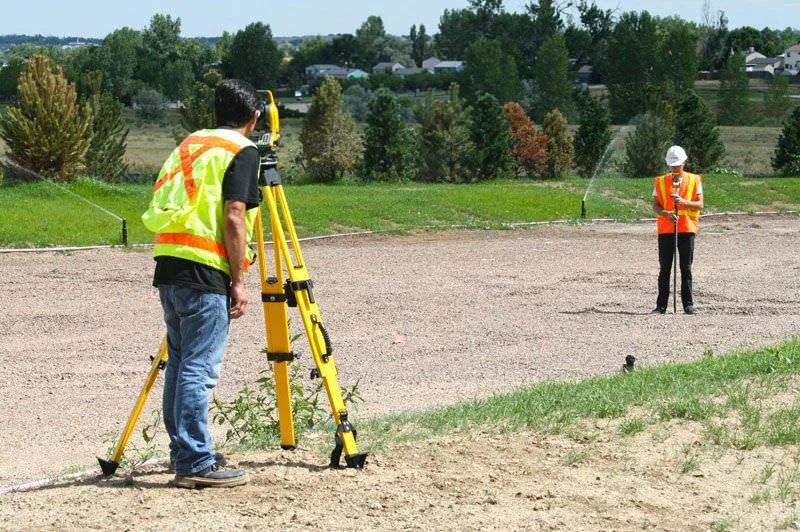
RAS Marine Informed decisions start with accurate Geo-data. We gather this through land mapping, ground surveys, and satellite monitoring—capturing insights across both natural and built environments. Our capabilities include Data acquisition through proper mapping, data analysis, turning raw data into clear, actionable insights. From agronomy to infrastructure, we help ensure your assets are planned, built, and operated with confidence and sustainability in mind.
Topographic survey
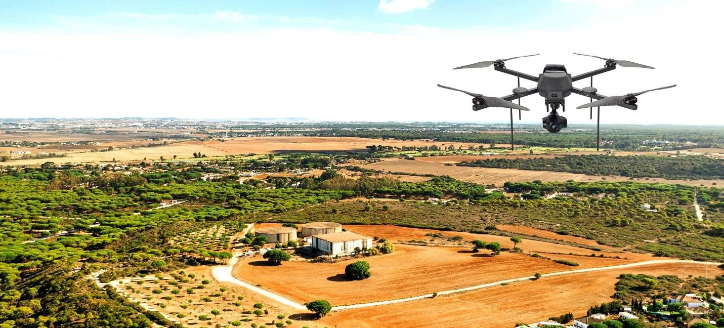
Aerial Drone Mapping
Cadastral survey
Engineering survey & services for Construction, Of Building, Roads & Highways, Bridge, Culvert, Embankment, Canals, Earthwork etc.
Layout & Alignment Survey Of Building, Road, Bridge, Culvert, Embankment, Canals etc.